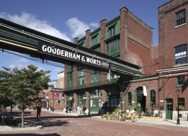
Like Goad’s Fire Insurance Maps in Toronto, the Baist Real Estate Atlases were produced for insurance underwriters who used them to evaluate a site’s degree of risk and establish premiums. These maps were adopted by city planners and local developers to understand the city, as they showed an accurate demarcation of buildings with materials, use, street address (and changes) and subdivisions, along with locations of lamp standards, cisterns, fire hydrants and boundaries. Today we at ERA rely on them to show the prior context of a particular site, and they are invaluable tools to illuminate our work.

Recently Scott W. acquired the complete bound Baist’s for his hometown, Detroit, entitled “Baist’s Property Atlas of the City of Detroit, Michigan, Complete in One Volume, Compiled and Published from Official Records, Private Plans and Actual Surveys”, by G. Wm. Baist, Surveyor and Map Publisher, 1896, and a second smaller printed version from 1916.

Open, the larger book measures 22” x 36”, and consists of 29 linen backed hand coloured lithographs mapping all areas of Detroit at that time. These books were heavily used, and like most of the remaining folios of this type, its condition could be described as “well loved”.