People Per Hectare
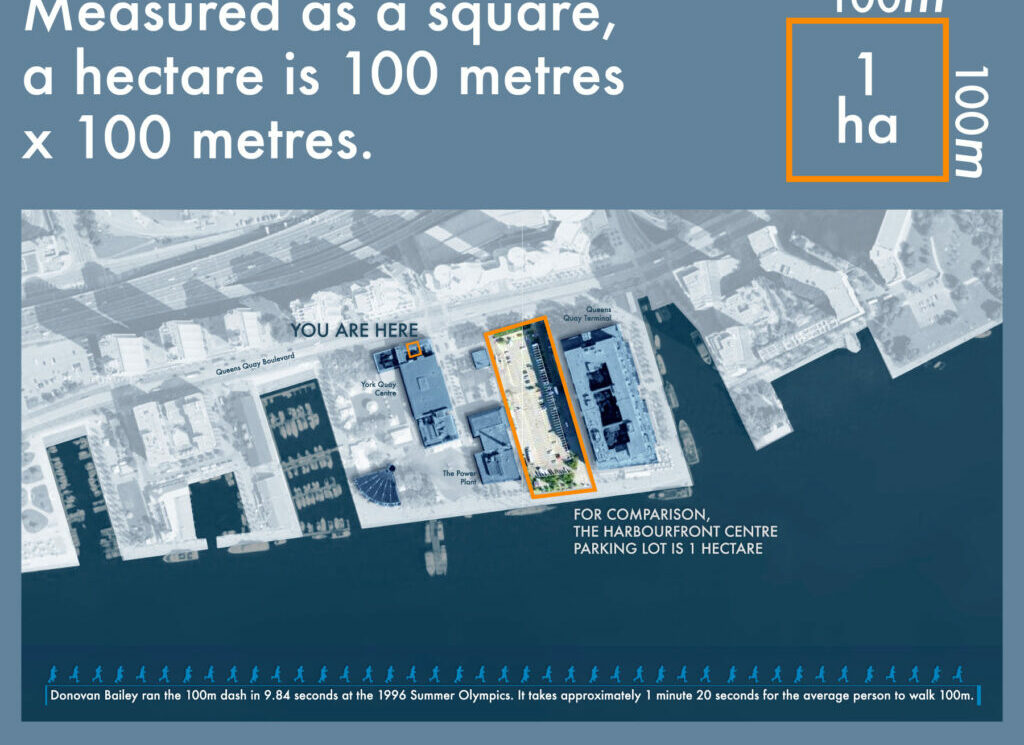
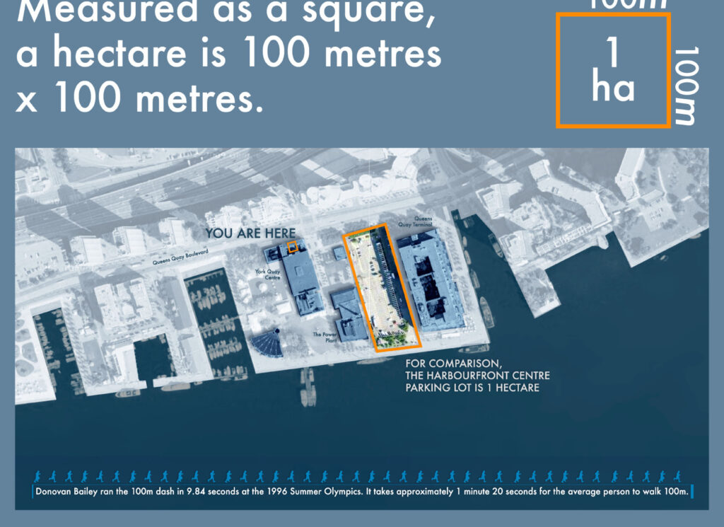
People Per Hectare
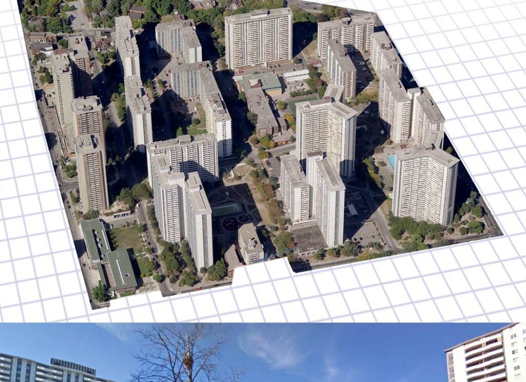
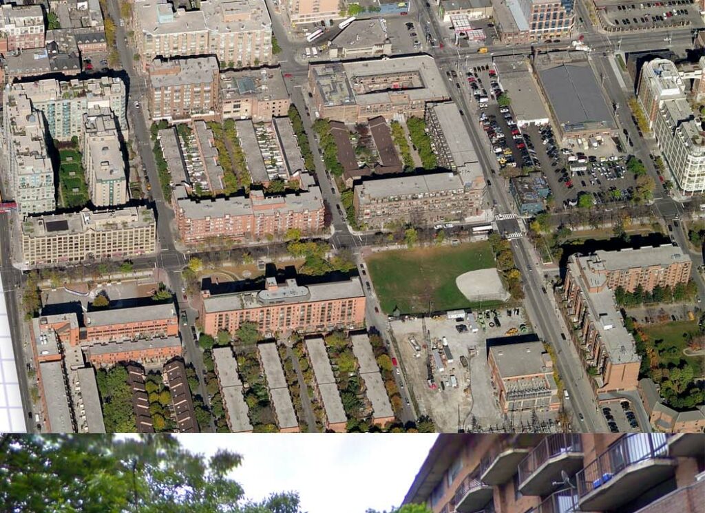
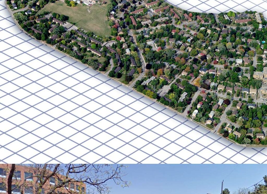
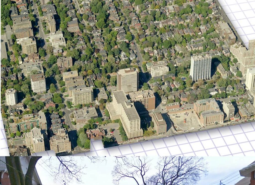
Density is one of the key tools currently used for planning cities. Architects, planners, and policy makers all use density as a calibration of the city.
We want to make our cities better, more vital, more full of possibilities. As our cities change, we want to propose change intelligently. To change intelligently, we need to understand density.
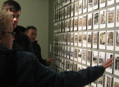
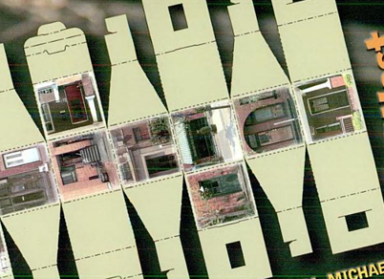
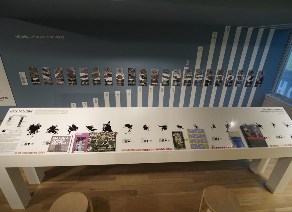
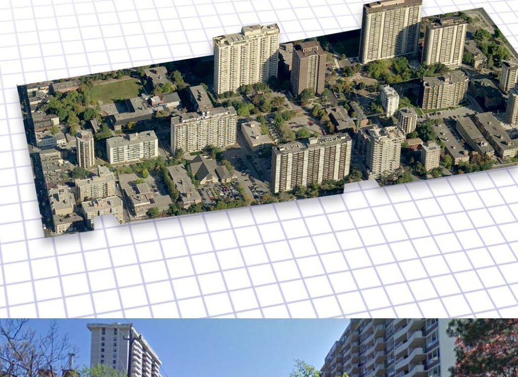
For the ERA installation at the Harbourfront Centre, as part of the COMMUNITY CENTRED exhibition, we asked our office to contribute examples of places they had recently visited. How did density affect built form? How did density affect the quality of the environment?
We often discuss density in terms of numerical ratios, or other quantitative abstractions. Our intention with this installation is to try and map the spatial experience of specific densities to their numerical signifiers, as free of imported bias (culture, context, etc) as possible.
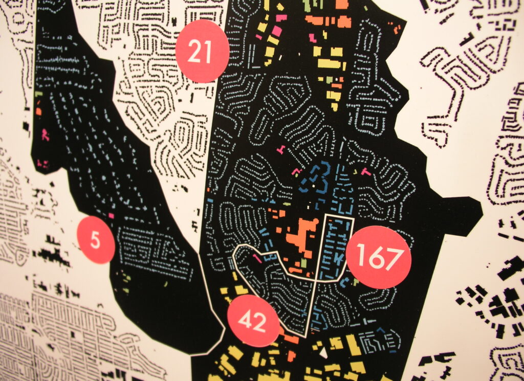
By assembling this information we are now able to consider: how do Toronto’s neighbourhoods compare?
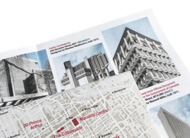
The map can be downloaded here.
- Location
- Toronto
- Partner
- Harbourfront Centre
- Date
- 2009
- Expertise
- Interpretations, Studies & Strategies
- Staff
- Jessie Grebenc