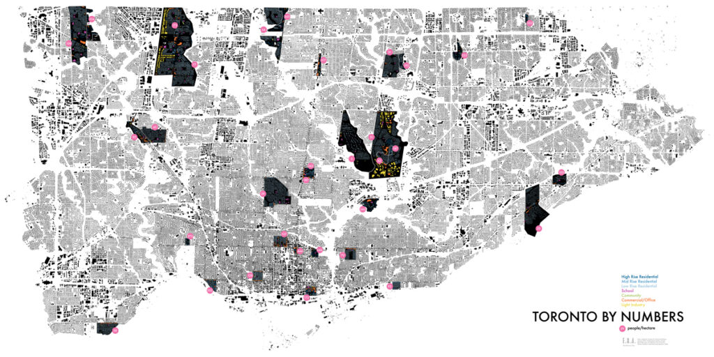

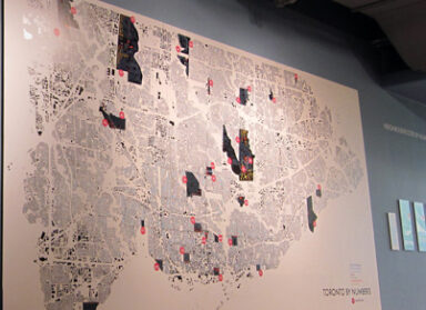
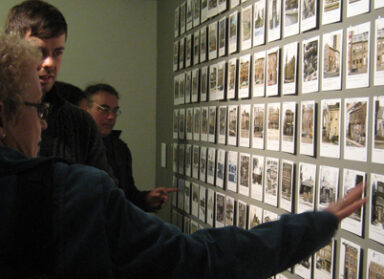
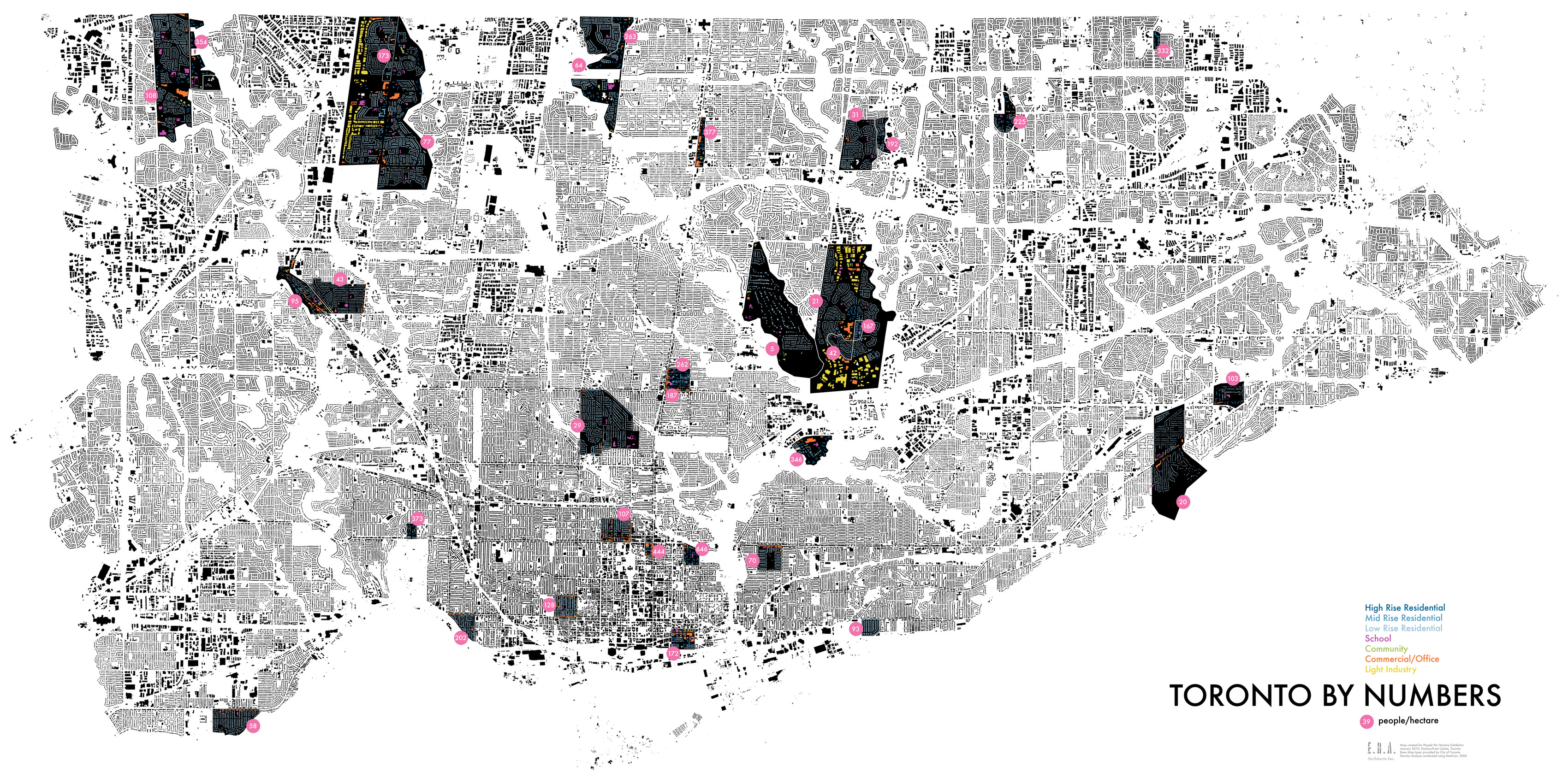
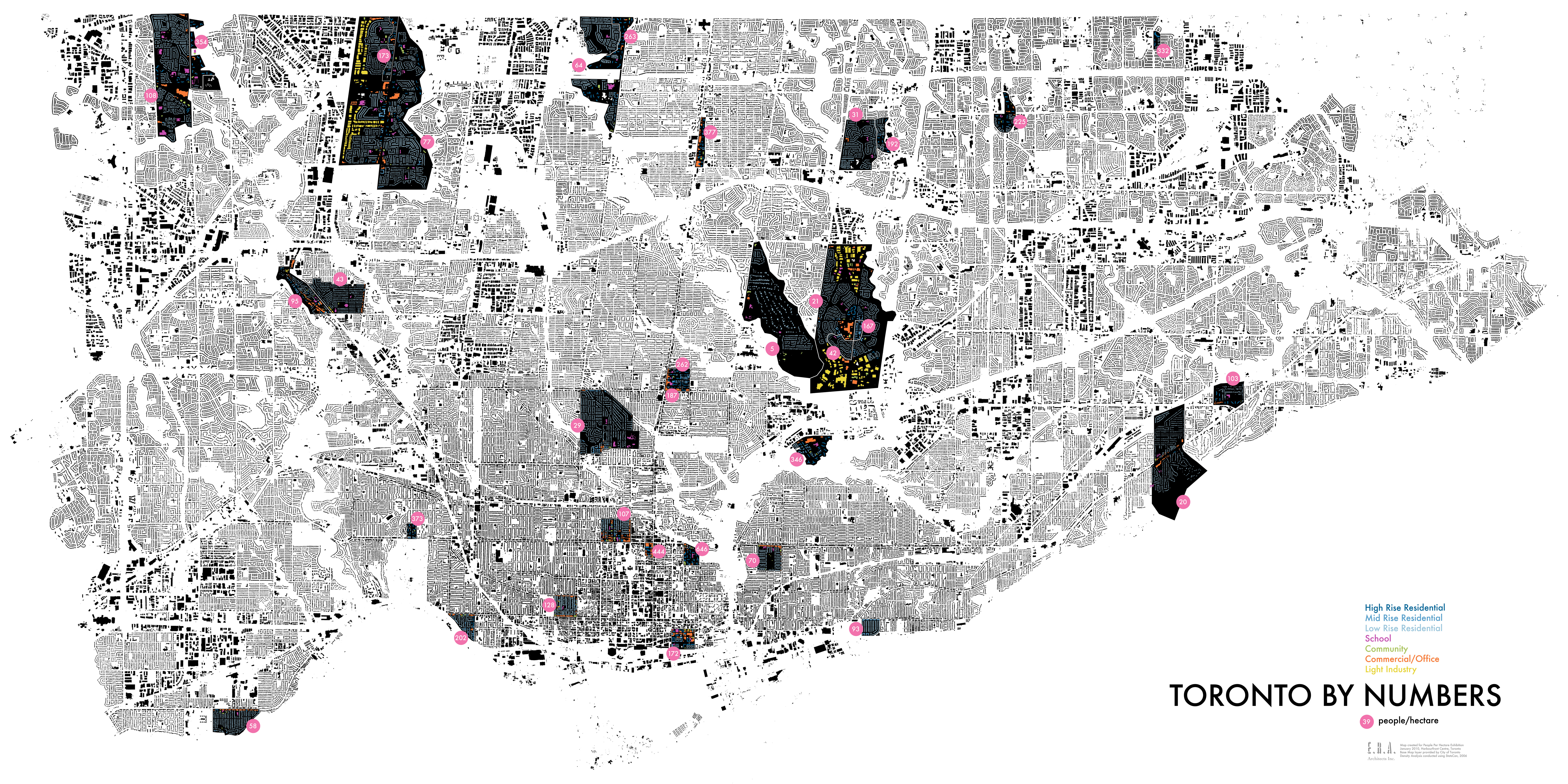
Developed for ERA’s People Per Hectare installation at Harbourfront last fall, this gigantic map compares densities across a sample of Toronto neighbourhoods. Using familiar local examples, it was developed to illustrate the very abstract concept of a quantitative density value – and to question what exactly that value might tell us about neighbourhood livability. Copies of the map have been in constant demand by visitors to both the exhibition and to our offices, where it has found a permanent home.
Now you too can download the map and print your very own copy – in either 3″x6″ postcard, 11″x17″ tabloid, or 36″x18″ poster size.
